2015 Summer Journey
Alaskan Crossing, part 16
Old Denali Road #8
July 14, 2015
The morning had begun as it had ended the day before, dark clouds and rainy. I was in no hurry to get out for any morning photographing, I was thinking about how to protect my camera gear from all this rain a short coming in my thinking.
At Summit Lake Rest Stop it’s a no fishing zone for salmon, it was a shame I saw several beauties swimming in the Gulkana River from the lookout. We didn’t hit the road till almost 10:00am; we were only about 8 miles from Paxson and the old Denali Road.
Pulling into the parking area of the closed Paxson Lodge (2013), its gas pumps had long since dried up and a old pay phone was still there, don’t remember if it had a dial tone or not.
Julie and I did a walk about of the lodge, peaking through the windows the clothes, juke box and varies equipment hadn’t been moved since the day the doors closed, I couldn’t see any foot prints on the dusty floor.
Rambling around the building equipment was in different stages of de- construction, either by nature or human.
Hutman Field small aircraft is just across from the lodge; we took a quick look and continue our traveling on the Old Denali Road.
Just a short piece down the road is Denali Highway Cabins, they had this entrance blocked off.
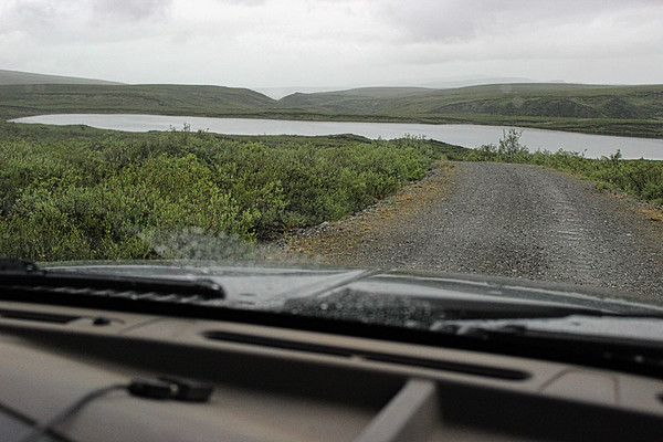
Further down the road we saw a chance to get down by one of the kettle lakes or it could have been part of the Tangle Lakes not sure.
Rain was still coming down but slower now, into another pullout, one got a great view of the surrounding area from here.
Not far away some Trumpet Swan were in a body of water not too from the roadway.
Some blue sky was starting to break through in the distance and to think that some of the Alaskans told me they were in a drought!
Tangle Lakes River Inn came into view; of course we pulled to take a look. A sign indicated they had gas but at the monument they were out of diesel.
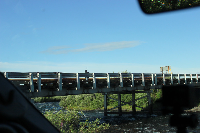
Reaching BLM’s Tangle Lakes campground was just a couple of miles away; one has to cross a rustic bridge from our direction to gain access to the entrance road.
It didn’t take long to pick out a site for our stay and get set up.
With plenty of daylight I headed to the lake for a little fishing and photographing.
Julie joined me after awhile, by that time I was already talking to some folk that come here on a regular bases.
Well didn’t catch any fish, but saw my first circular rainbow.
July 15, 2015
We planned on leaving this morning going west on the Old Denali Road after I took some more photos and talked some more to our new friends.
Some of our fellow campers were getting packed up for their long journey.
Really didn’t get too far, the Delta NW & SR Wayside was almost across the roadway.
Here I met the campground host (don’t remember his name) he talked about how he liked doing this campground hosting.
While there I dropped a line in the river, almost stepped on a frog while casting the line out.
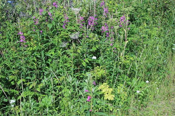
Like most places we’ve been in Alaska so far plenty of plants and insects.
Driving out of this little wayside I just had to stop at the boat ramp to snap this photo.
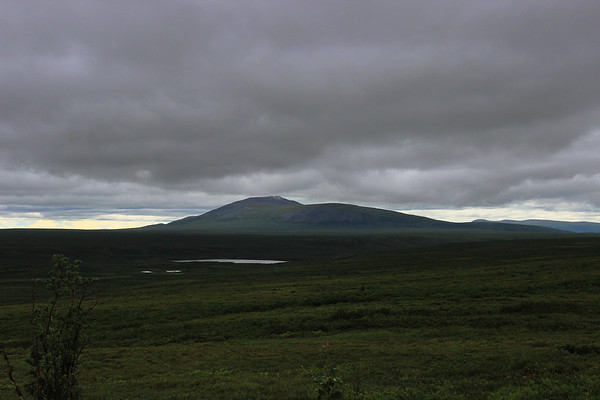
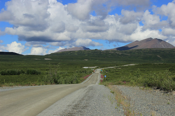
Once again heading west on Old #8, there would be a long chain of nearby Amphitheater Mountains Range ahead of us with a opening here and there of the distance Alaskan Range.
Today is a gorgeous day, no rain just blue sky and cotton balls of floating clouds.
Approaching Rock Creek there is a large pull out for those who want to pause awhile, we did. Trying my luck again for some fish from the bridge, no luck here. Landmark Gap Lake is to the north of us, couldn’t see the lake only the gap.
Moving on, the road would wind into High Valley is between Whistle Ridge Mountain and Amphitheater Mountains where Julie spotted a moose cow and her calf up on the hill side.
Today would be a good day for spotting moose’s, two more were seen down in the river below.
In High Valley dozens of kettle lakes appear as Old Denali Road hugs the Whistle Ridge mountainside, a better view of the distance Alaskan Range could be seen here.
We made another stop at Oscar Lake trail, just before the Maclaren Summit. It was a good place to stretch one's' legs and take in the scenery.
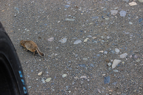
While walking around I was greeted by some of the local residents, I was surprised that I able to get this close to them.
Meanwhile back at the camper Julie had a furry visitor, a marmot came looking for scraps, Julie had been sweeping out the camper and a few cheerios' were in the mix.
Once back at the home on wheels, a quick cup of coffee and a stop at Maclaren Summit.
The Maclaren River and glacier could be seen from here.
Nearing the Maclaren River, a house on a small hill was being built and the “Crazy Dog Kennel” came into view.
Julie wanted to stop there, so we did. We did their basic tour which in itself was quite a bit; a young lady guided us around and introduces us to their animals
A lunch stop was done at the Maclaren Lodge just across the bridge.
As we left some more scatter showers came about.
Darkness of the sky came over us as we approach a large kettle lake, seeing a beaver pulling itself out of the water. A couple of Trumpet Swans were swimming not too far away from the beaver.
Around mile marker 49 Julie saw a road go down to another much larger kettle lake, there were more water fowl there, more than I could count.
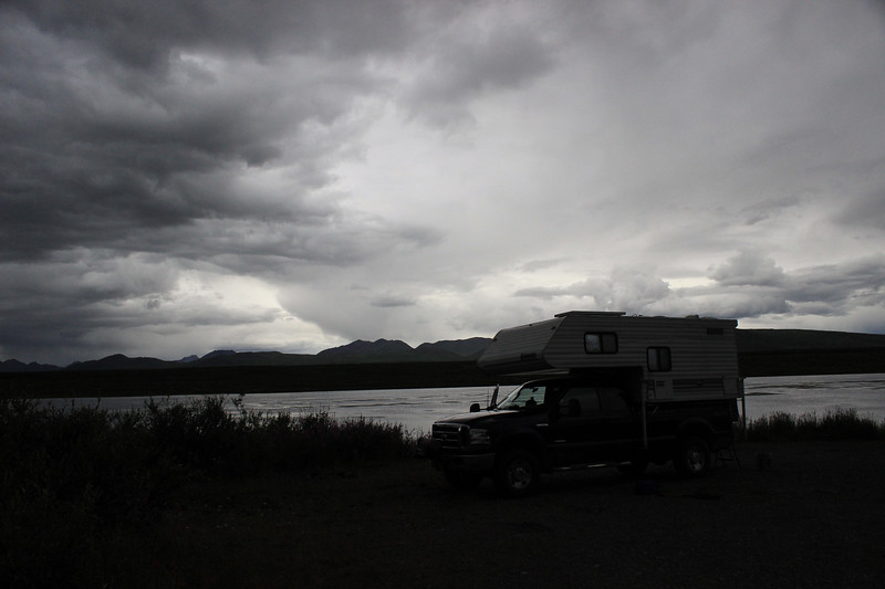
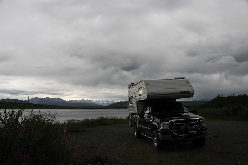
This seem a good time to call it a break for the night, it was dark enough from all the black clouds above us. Tonight would be a cold night at least for us.
Thanks to everyone for reading my TCTRs, all comments are welcome and if you have any questions ask them here or PM me.Link to Part 17 Thanks, Alex Blasingame, aka c.traveler2.2007 F-250 4x4 /6.0 PSD/ext cab/ 2020 Bunduvry


.jpg)


