2015 Summer Journey Canadian Crossing part 4
Bell2
Telegraph Creek
June 24, 2016…Day6
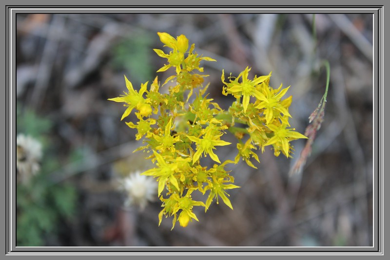
Staying overnight at Bell 2 (private campground) was very quiet, very peaceful affair and there was a little light rain sometime during the night. We got up to a gorgeous blue-sky morning laced with scattered clouds, Julie set about to make breakfast with coffee first on the thing to be done. As usual, I head out the camper door for some morning photos and hoping that the black bear would be around and my wish was granted as he wandered along the highway making his way towards a field of wildflowers.
Staying overnight at Bell 2 (private campground) was very quiet, very peaceful affair and there was a little light rain sometime during the night. We got up to a gorgeous blue-sky morning laced with scattered clouds, Julie set about to make breakfast with coffee first on the thing to be done. As usual, I head out the camper door for some morning photos and hoping that the black bear would be around and my wish was granted as he wandered along the highway making his way towards a field of wildflowers.

I was able to get a lot of bear photos, he seem to not mind all the people being around as he feasted on the flowers and tall grasses. I was also talking to a couple that had decided rent a room for the night because of the bear, it’s seem that it had the day before jumped upon their table and scared the hell out of them. The bear didn’t do any harm, didn’t even eat their food that was on the picnic table and that made them lucky.

Our end of the day would be Telegraph Creek, some 348Km /216Mi. away on the Cassiar Highway 37 (aka Dease Lake Highway)
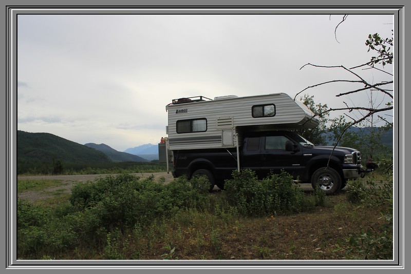
Good-bye to Bell 2, as we pulled out into highway 37 heading to Telegraph Creek.
Good-bye to Bell 2, as we pulled out into highway 37 heading to Telegraph Creek.

Lilly filled ponds to right of us and snow capped mountains dead ahead for awhile was our sights as we cruised along the worn asphalt road.


Pulling into a rest area named Bob Quinn Lake Airport; there is a small craft landing strip there. The bicyclist we had past caught up with us while we stopped here. To the south of us Ningunsaw Provincial Park mountains can be easily viewed and to the west is Faisal Mountain Peaks (1-5) also can be seen.
56.967002/ -130.248138


It was a nice visit with the bicyclist;they are from Wyoming and making their way to Alaska by the way of Dawson City, wishing them well on their exciting journey we hit the road.
It wasn’t long before a slowdown was in order for some road construction for a number of miles.


We cruised through the quiet town of Iskut.


Lunch was a short affair of soup and sandwiches and we were soon back on the well worn highway and finding ourselves behind a trailers and a TC with a trailer, they were moving fast enough for me so I followed them
.


Blacktop road ends shortly after leaving the main part of Dease Lake and is gravel/dirt road from that point on to the very end of the road.A greeting sign of up to 20% road grades were waiting for us and this sign wasn’t lying.


Before crossing into Tahltan territory, a sign describing the important of the Stikine River to their lives is posted by the bridge. Several residents are out fishing and we made a short stop next to them, they just had pulled in a large salmon.


Passing though their town a steep road laid ahead of us, also providing another great view of the “Grand Canyon” area.


Moving forward on a very good graded dirt road, through a couple more small villages we came to the split in the path. Straight was to Glenora and to the left was to Telegraph Creek our main designation.


There wasn’t a soul to be seen as we entered Telegraph Creek, I was beginning to think we had enter the Twilight Zone and we were the only one left. Except for the rushing of the river, there wasn’t a sound to be heard, very eerie.


Parking next to the Stikine River Song Resort building, Julie and I departed our rig to look around.


Good fortune was with us and the manger came out, the resort wasn’t ready to open and she said we are welcome to stay in our rig right next to the building. This was a pleasant way to greet strangers and Julie and I retired here for the night while the manager rode off on her atv.
Thanks to everyone for reading my TCTRs, all comments are welcome and if you have any questions ask them here